The MapOn the lower right side of the map in front of the car you may be able to see the label “Las Cruces”. This small town was originally a stagecoach stop at a “Y” intersection leading either along the coast into Lompoc California, or behind the Santa Ynez mountains into the Santa Ynez Valley. Why did the road “Y” here? Because the La Purisima mission was located just outside of Lompoc and Mission “Santa Ines” was located in the Santa Ynez Valley. When the automobile began arriving on the coast of California, Las Cruces quickly converted to a small service town serving the needs of the oncoming motorists.
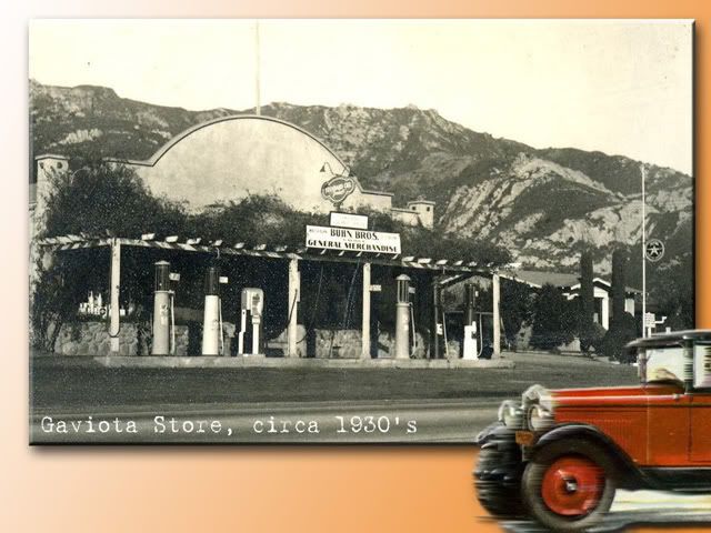
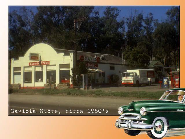
Before we drive to Las Cruces though, we’re going to make a quick stop at the Gaviota service station and store to check our tires and take on some water for our trip around the Gaviota Pass.